GUTH Venus (2) & (3)
LATEST GUTH-VENUS DISCOVERIES: August 09, 2001
OK,,, I recall clearly stating there were likely other potential sites yet to be discovered, and guess what ?, apparently I was right (again).
Sorry NASA.
This is yet another edit, as always, I've looked back at what I thought was sufficient as to describing what these discovery sites were all about and, even I can't understand what the heck my point was, so, I'll try again to update this page in order to make somewhat better sense.
This page was created because no one else has lifted a finger to look for other potential sites, so I guess, I'm going to have to be the one looking and hopefully establishing and thereby claiming yet another worthy discovery or two and, possibly even a third location on Venus as that representing those areas constructed and obviously as having some form of artificial infrastructure (consistently different from their natural surroundings) and, I'm hoping those will still be active sites and otherwise most certainly not merely that of remains nor simply complex natural formations (as far as anything being defined or cataloged by NASA or by anyone else without supportive images). And, to those still claiming no such discovery, I'll say sorry, no cigar, at least not until you provide supportive images of such equally complex elements which can be truthfully based upon and thereby understood as created by purely natural events.
Again, I have no problem with others using their examples of observational images that demonstrates such characteristics of purely natural formations and erosion formulating into highly complex, symmetrical as well as rational looking geometrical orderly patterns, yet 11 months and counting, not one critic has managed to do so and, I've permitted those to acquire their observational examples from any planet including Earth.
I'm still working on locating my potential sight No.4, and remember, it's first come first to claim, and don't worry about NASA establishing any rights because they've already stated (over and over) that "nothing whatsoever artificial exist on Venus".
These next two additional discovery sites are those clearly situated at fairly elevated (mountain ridge/top) locations, and obviously for the very same reasons and therefore benefits as at the original/first location of "GUTH Venus-1". Keep in mind that there is apparently nothing elsewhere (in spite of what NASA proclaims) supporting such naturally formed elements that even remotely resembles this degree of complex structural(s) and rational infrastructure considerations.
 Sorry about all the enlargement fuzz (I'm still working on resolving that). In these images, this fuzz or blur is simply due to having somewhat lessor target sizes and obviously much fewer of and/or of somewhat lessor structures to view (thereby of considerably lessor raw image coverage area), and then also being of somewhat lessor imaging quality (as related to the original raw Magellan/radar imaging), as in comparison to that of my first discovery site. This SAR imaging potential is obviously fairly restricted or limited because there are simply insufficient raw pixels as well as those pixels representing somewhat lessor contrast to work with as that compared to the extensive coverage area and vastly more complex attributes found at "GUTH Venus-1". However, what I can perceive is basically that of geometrical formations that clearly differ from their otherwise random patterns of (fairly common) terrain. In this instance the differences are minimal (in radar imaging, such limited detections could be interpreted as being stealth like, intentional or otherwise or simply that representative of being constructed of materials similar to their surroundings, such as a mud hut situated on common soil and broken rock will most often appear nearly stealth, as equal reflective density to that of it's surroundings, yet the distinctive geometrical patterns which formulate walls, openings and roof tops can be detected as such, just not represented by that of a different shade).
If you still can not make much of anything out, not to worry because, for the past 11 years NASA hasn't seen a damn thing (even if it were to be clearly branded and notarized such as what I delivered to their door step a year ago) and, even I'll have to admit these two sites were extremely hard to establish much of anything at first, at least not until you have studied the greater areas of these two NASA/Magellan originals and only then enlarged upon the details little by little. You must also take fully into account the angle at which the original images were acquired, and then through applying resampling (5X to 10X), plus cranking up the contrast and whatever image sharpening such as "moire removal" in order to obtain anything as good or hopefully better. During and after your final enlargement, you should clearly notice that all of your surrounding terrain, various lava flows, channels, erosions and common rock formations have been equally enlarged and not otherwise distorted from their raw original image format, which I believe this supports extremely good proof that you and your software has not simply run amuck.
Unfortunately, NASA would have you and me believing that somehow our software is selectively causing/introducing these structural looking shapes, as well as creating every part of any perceived artificial infrastructure, as apparently materializing these shapes out of thin or perhaps thick air. Well,,, that's simply not the case at all, at least not from any software solutions I'm applying and, Adobe, Corel, Kodak as well any most any supplier of digital photo software and then including experienced end-users such as myself can damn well prove it. Take a brief look at our NIMA.MIL web site (a real digital eye opener).
In order to minimize my efforts at locating other potential sites, I concentrated on those areas situated at 180� E/W from "GUTH Venus-1" and, equally at elevated terrain, as low lands or valleys are obviously not a survivors best alternative if existing on Venus.
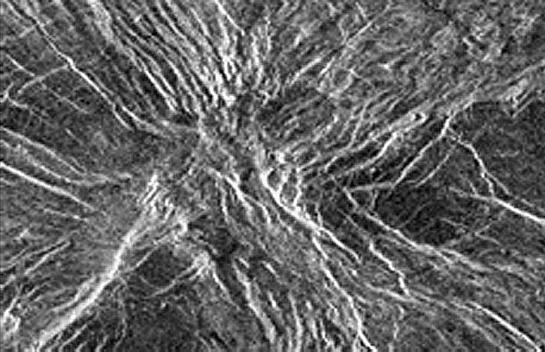
The artificial structures which I can identify within "GUTH Venus-2" (mgn_c130s279_1.gif captured from 913 km) include that of another relatively substantial hangar like structure, situated up against or into a mountain top, forming a horizontal silo or launch bay entrance, sufficient so that an extremely long and obviously large capacity airship could easily navigate directly to/from it's protective storage bay, exactly like at the first area (1). This hangar structure is similar in size to that at GUTH Venus-1 and, it also supports parallel/inline large skylight/domes or vent like elements situated all along it's exposed roof/top area. Surrounded by several smaller structures is that of an obvious wall like or protective perimeter attribute (forming a courtyard sort of effect or something of a structured fortification). There are several other nearby rectangular cleared areas. Within these obviously large walls I identify several square as well as dome or ball like elements. Across a valley (headed just slightly up and to your right or ENE) is yet another mountain top area hosting a somewhat smaller installation of lessor involved structures but none the less sufficiently there so as to be clearly seen (that is if you are even attempting to understand the least bit of what's potentially differing from that of the surroundings, as in the formation of highly unnatural and thereby most likely artificially groped shapes).
Unless you are NSA/spy qualified, perhaps you should not attempt this degree of enlargement process (you might hurt yourself or break your computer), as this has taken considerable effort and the added experience from my previous image salvaging/enlarging efforts in order to obtain even theses relatively limited results. None the less, these latest two+ discoveries and my resulting image enlargements are those reveling structural and infrastructure issues as equally unchallenged by anything NASA has bothered to provide in their defense; as that proclaiming that everything I'm uncovering is purely made up of commonly to be found lava flows, channels, erosions and rock formations. Unfortunately, NASA as well as all others (including their moles) have so far been totally unable to provide such documentation as image/proof on their behalf, offering not one example of showing anything so complex and yet comprised of purely natural elements. I can only guess this feeble impudent response is NASA's form of a joke (ha! ha!, I get it, you're image interpretive staff is totally blind).
OK,,, What can I say,,, If you have followed my efforts to date (11+ months worth), we should all by now agree; NASA's braille imagery interpretation capabilities are simply still out to lunch and/or out-matched by my obviously superior photo-software as well as by my superior capabilities as in utilizing such.
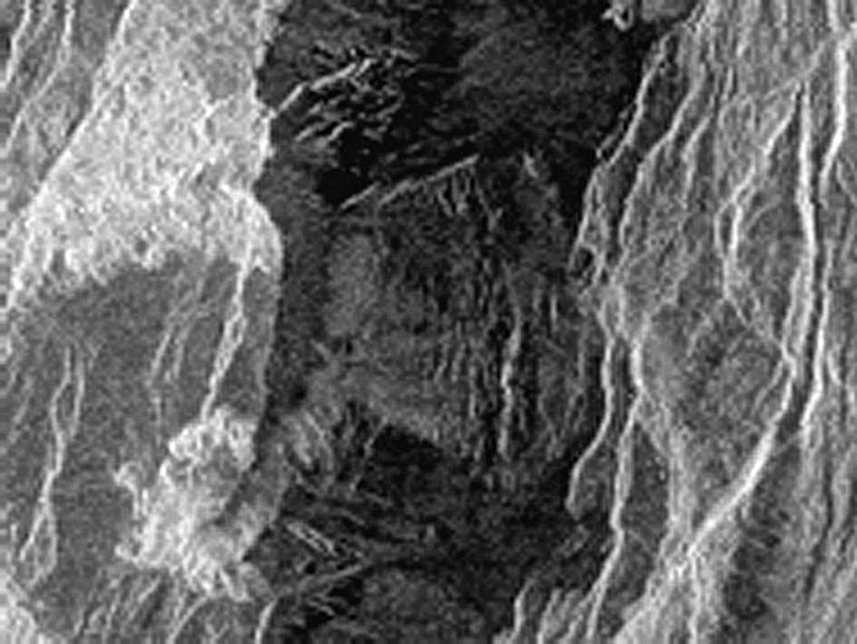
Site "GUTH Venus-3" (the lower group of the above images, was derived from mgn_c130n279_1.gif captured from 480 km altitude) and is truly offering somewhat lessor element size to work with and, thereby being so much harder to identify anything, therefore quite difficult even for me to make out, as the Magellan image terrain pixels were those offering (reflected radar signals) as nearly identical to that of the perceived structural shapes, however, remembering that the Magellan images are reproduced from multiple look/scan radar format and therefore if any original pixel was represented at all, and thereby captured as signal reflecting target(s) (no matters how insignificant) then in fact these targets/shapes do exist, as radar imaging introduces essentially no optical distortion or even weather related distortion issues. And yes, these structures are still somewhat large, considering the Magellan's altitude and resulting image resolution was most likely that of 75 meters (perhaps somewhat less), therefore, it takes a rather substantial target size to even be detected at all (understanding that each pixel/target area represents the average of 4+ signal reflections and obviously not representative of any one specific item within the pixel coverage area).
What I believe can be identified at "GUTH Venus (3)" is that of a compound area situated near a mountain ridge, hosting structures including at least one large central dome like along with several rectangular, and there are possibly two (side by side) lessor horizontal silo/hanger bays adjoining their underground attributes. I'll remind everyone, that this area is also at nearly mountain top elevation, and thereby offering a steep incline and/or sharp fall off of the surrounding terrain, which I happen to believe would best accommodate and thereby support my understanding of those horizontal silo bay airship entrances. Again, I could and will eventually accomplish a better enlargement (lessor fuzz/blur) if I only had better photo software, software that I know our NIMA, NSA and NASA must already have, and I want access to it.
If anyone out there has access to NIMA, NSA/spy grade digital photo software, and would sponsor and thereby permit my having limited access to utilizing it, I believe I could offer better results. Until then, these two most recent new discoveries sites are real but will remain secondary to my original (first) discovery, but, I feel none the less as important if not more so. I also believe the quality of my enlargements is simply not at issue, as the raw image content is what sufficiently attracted my attention which I believe supports the findings, and is thereby sufficient for the sole basis for my initial descriptions of what I believe can be identified. If you think otherwise, feel free as to offering your point of view, and unlike NASA, and with your permission, I'll post that interpretation along with your name.
Offer your comments and advise, as unlike our know everything NASA, I could sure use your help, and I would support and fully acknowledge your efforts and also insure that you received any claim(s) to additional new areas or sites of discovery. As I've stated before (for the past 11 months) there must be and obviously there in fact are other worthy sites on Venus. These new locations are obviously those as elevated, and in fact there are many such elevated areas of Venus, including some fairly extensive territory that are exceeding 10 km (33,000'), so obviously there are substantially elevated regions suitable for additional discoveries and, I believe we'll uncover many that of potentially supporting LIFE on Venus, (someone, I guess other then NASA, simply has to look).
Please review my "GUTH Venus-1" URL page or otherwise my INDEX page from time to time, as for further updates and corrections. This page as well as others are currently undergoing updates and hopefully hosting new and improved images as well as text editing that reads more correctly. I would gladly post your images and descriptions (or a link to such) of your discoveries and/or of more correctly formulated statements. I'm doing all this because I'm beginning to think NASA is going down for the count, so this Venus discovery may be entirely up to you and me and otherwise hopefully acquiring the support of other more resourceful agencies around the world (those not having to account to NASA for every statement and decision).
E-Mail: Brad Guth __ 1-253-8576061
URL: http://geocities.com/bradguth
Discovery date of: GUTH Venus (#2) & (#3) August 09, 2001
Copyright © 2001/2002 - Brad E. Guth
All Rights Reserved
Webmaster: - bradguth@yahoo.com