The road that's on Venus; This is the one clearly identified towards the NW territory of the "GUTH Venus site #1", the one furthermore that is so clearly circumventing along that fairly high mountain range, as located just above and adjacent to that massive primary channel (sort of a Venus style Grand Canyon or truly massive rille). Actually that road and/or bridge is not all that narrow (as much as 150 meters by my conservative standards and perhaps as nuch as 450 meters by many others):
Apparently my limited photo software is simply not anywhere as bad as all those NASA Borgs had been stating, in fact, my very old and outdated ADOBE PHOTO DELUXE must be one of the best (admittedly low-end) solutions about, then by a process of having to introduce a little of my COREL's Photo Paint does not seem to hurt one bit (I'm not even having to add one damn thing, just implamenting the software's imaging filters, all of which can be reversed). If you are having any difficulties acquiring the same or better results, I would advise simply trying out a few other software solutions, because basically that's what I did. Better photo software will in fact offer nondistorting filtering advantages, above what my solutions provide and, I have trial versions of such that clearly prove this out.
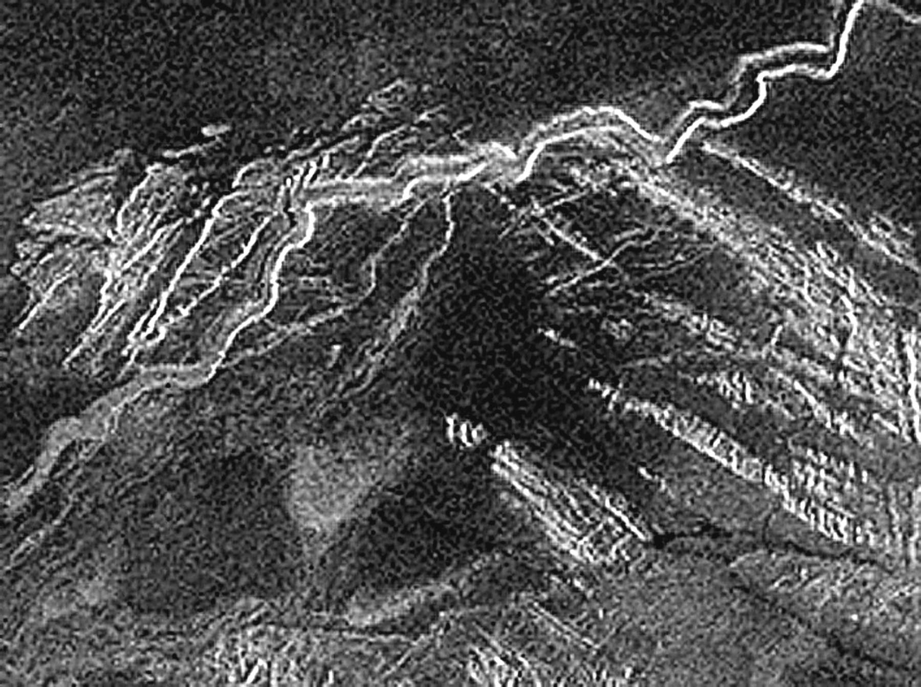
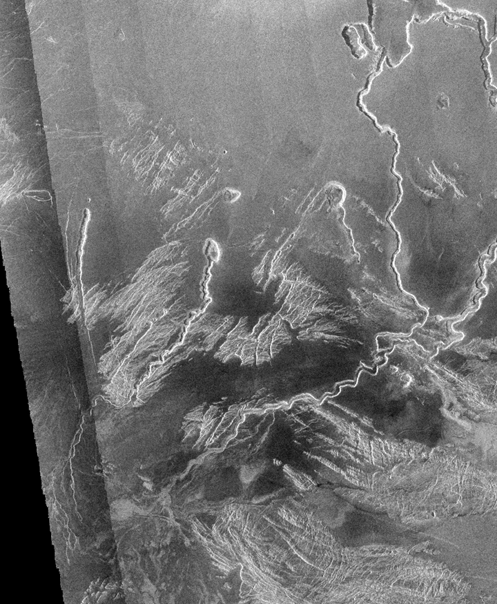
Sorry this image (above) is so limited (you may want to back yourself off just a little), after all, this one has been overly enlarged (resampled) from that NASA/Magellan original (below) and, I've tried and applied nearly everything I've got in order to sharpen it just to this point. If you think you can do any better, please help yourself (remember to always start your enlargement process from this following official NASA original).
THE ROAD / Quite long and sophisticated actually; This is in fact an intentionally road or possibly a combination road and rail bed (which I'm assuming you can see this much by now) that which appears as having several carved-out or excavated considerations along it's path, possibly mining excavation sites or perhaps simply other rock quarry areas (according to pro-NASA types, all of this is purely natural, even though they can't point out such from any other examples, so this must be the one and only such representation of such highly unusual as well as complex lava/erosion considerations in the recorded universe). This roadway appears to be clearly representing as having a gradual slope or grade (pretty much like you would expect, except not by any natural causes), obviously this is no simple cause and effect from tectonic, erosions or even complex lava flow considerations (as NASA keeps stating it is), as nothing whatsoever elsewhere is remotely like it (as being so complex and associated with such nearby and equally artificial looking issues) has ever been identified elsewhere as any natural formation (I'm including Earth).
A bit further to the West, this is what I at first believed was looking somewhat like yet another smaller road excavation consideration, possibly also circumventing a somewhat smaller mountain range. I was hoping to confirm another situation of some sort of a sharp switch-back dealing with having to circumvent difficult terrain (again, there's nothing remotely natural about this issue). Will, at closer examination, it's not so natural after all, but clearly more like that of a fairly large silo/hanger airship complex. And, this is no ordinary air ship (try comprehending something like a capacity of 860,000 metric tonnes, X9 if you belive other pixels size assessments). I have a couple of worthy pages pertaining to this issue of Air Travel, plus building upon other references throughout my review of the greater of possibilities.
As erosion(s), complex lava flows and/or land shifting generally goes, as that formed by most any natural event(s), as such they simply do not travel out of their way (seemingly opposing gravity, circumventing terrain issues and weathering criteria), and seldom will that process include excavated tunnels that furthermore seem to connect/intersect onto a damn suspension bridge. Good grief you NASA guys, put on your official multi-million dollar bifocals. Come on all you so called experts and NASA moles, put up your pants, put up your dukes and otherwise help me out here, either prove me dead wrong by offering any other imaging of similar formations that's proven as natural (I'll accept that from any planet) and/or, demonstrate that you are not all merely Borgs of NASA's ever dwindling internal hive.
The Venus Bridge (I'll bet suspension at that); That's right folks, I said "a damn suspension BRIDGE"... Clearly established at the East end of this mountain range, as that indicating a strong relationship to a fairly substantial road or rail bed, as what's clearly circumvented those mountains and, where it more then appears that this road actually tunnels itself right through another substantial ridge or wall like mass (my judging by the Magellan's radar imagery of other similar terrain, that mass looks pretty much like solid rock to me), and low an behold, a relatively narrow bridge, perhaps similar if not larger then the "Tacoma Narrows" bridge, 75 meters to perhaps as much as 100+ meters wide, as traversing that primary canyon channel. Now this is not just any ordinary bridge, it's obviously long (try something like that of a half mile or more so depending on the final tally on these raw pixel resolution determinations), and it's totally suspended (nearly flat as in relation to every other curved and/or sloped terrain consideration) and, it's absolutely flat out flat, crossing that extremely deep and wide Venus channel of a good 1 km worth. Now this would be exactly like right here on Earth, a suspension bridge (something perhaps like the "Golden Gate" or the "Tacoma Narrows") except crossing the likes of a narrow portion of our "Grand Canyon".
There can be absolutely no question that this is exactly what it represents, that of a purposefully "constructed BRIDGE" and, that also of an obvious connecting roadway which is clearly one challenging the very perimeter of that mountain range, as it includes a sort of switch-back as it rounds the lower end of this range and then proceeds onward towards the ridge top, as would obviously be necessary as if there were any mining or other essential life supporting logistic functions taking place (at least as if pertaining to pre-greenhouse existence). What greater extraordinary evidence (near proof positive) can anyone the least bit capable of sight possibly need. This bridge consideration alone is totally beyond my comprehension as to why others fail to realize the implications. I mean, how totally pathetic are those official image interpreters?
Closer examination of the greater "GUTH Venus" area supports many other worthy elements, such as mountain top observation zones and/or fuel/H2O2 storage spheres or possibly that of communication/navigation domes as well as other nearby parabolic issues (potentiall "sterling type" solar power conversion installations of not all that much IR but plenty of UV). I must keep reminding you, such complex shapes have in fact not been found anywhere else, especially as anything created by any known natural causes. Please, also notice the down-hill or lower bank of that primary channel, as it appears as having substantially more intentional mass (as the up-hill bank territory would not be requiring such modifications), it's exactly as if this issue were somehow intentionally fortified so as to contain or prevent further erosion and/or fluid losses towards the greater (slightly lower terrain elevation) occupied countryside, as hosting all of those other major structural considerations.
Just to the left of this road circumventing that mountain range, there is that other smaller issue, which I at first thought was simply that of another lessor road consideration, however, upon somewhat closer examination has reveled this as the extension of an airship or perhaps nose of a very large missile like airframe shape, as protruding from a hanger/silo (perhaps sufficiently deep so as to house another such airship as well as offering additional underground capabilities). I believe the nose of one airframe can be sufficiently identified (looking perhaps as a sleek hydrogen inflated but more likely rigid format like airship, perhaps as that being refueled), and I do believe I have further identified the all essential pivoting hatch to this otherwise mostly underground hanger/silo consideration and, then just a short distance below seems to be indicating that of their chemical/fuel plant (possibly an operational CO2-->CO/O2, hydrogen and/or hydrogen peroxide production plant) having connecting tubes and/or passages to/from the nose section of the airship. Directly aft of this hanger, I now believe we can identify at least one other above surface storage tank. Take a damn close look at what is covering the top of this hanger, all those loop shaped considerations as well as the substantially larger mid section aft vent (symmetrically this is directly inline, indicating it could be a thrust vent). All of this is covering the exposed portion along the top of this hanger/silo (could this be some form of HVAC and/or simply that as related to engine/thrust exhaust venting). This hanger entrance is situated upon an elevated site, with it's entrance clearly projecting and thereby overlooking the terrain below, obviously this would best accommodate for their launching of just such a massive airship.
ADDITIONAL RESERVIORS: According to Lord NASA, this simply can't be (but there we have it); In the upper left area of the above (top) imaged area, clearly is what can be identified, are those of an obviously large set of fluid receivers, four substantial lower units comprising that of a clover shaped reservoir/collection as a formation representing a massive receiver capacity and, this is further acquiring it's fluids to/from that of another (possibly more elevated) somewhat larger area round reservoir (quite possibly a mountain area spring water or whatever fluid holding site, or simply just another sizable area for the collection of acid rainfall). The aqua-channel or feed is clearly from the edge of the upper reservoir and then (over some great distance) is feeding directly to the center of the lower "clover leaf" collectors. Not that size is all that important, however, the rough calculations seem to indicate a total capacity of roughly 50 million cubic meters worth (not including any other reservoirs). I am beginning (actually I'm far past that point) to believe this entire area is simply far more highly developed, being quite industrial (at the very least highly survival based) and obviously something far more complex then even I have imagined.
In order to first realize the potential of what can be seen, one only needs to start off by enlargement/resampling to a factor of 3X (this equals 9 times as many pixels), and if you should not wish to further resample, then by using your viewing magnifier should be more than sufficient (apply a sharpening filter [unsharp-mask] if it helps you to realize what's to be seen). I have offered several variations of enlargements so as to best accommodate those yet unfamiliar with the software enlargement process and perhaps even unfamiliar with their own software viewing magnifier. And please, keep trying to remember about my software enlargement process; this is an ongoing learning curve (at least for me) and it still requires considerable time even for myself to have accomplished what you see, however, a process which I have since discovered (mostly by countless days of trial and error) can not and simply will not (unless I intentionally do so intentionally) introduce anything that is not already within the original raw image and, most anyone can prove just that, so stop thinking this could be anything other then what it is, you could hurt yourself. I'll have to admit, I have nearly run out all my photo software options, as further enlargement seems to generate mud (no further perceived detail), so until others or I acquire better software, what you see is pretty much at my limits. Also remember that, I could essentially see nearly all of this from within the original raw image, even after enlarging without applying a single filter, as my eyes and visual perceptions pulled everything out and, applying filters only makes these images somewhat more readable for others.
For sake of a darn good argument; If you even think you can provide any image of otherwise known natural formations (acquired from anywhere, including Earth) that in any way equals this degree of complex relationships to that of representing constructed looking features, please feel free to do just that, otherwise join the "LIFE at GUTH Venus" club, and start helping others and myself discover and further deduce many other aspects of this area, and please don't hold your breath waiting around for NASA (their assistance is apparently not all that likely to happen, at least not within our lifetimes).
Don't forget, when I first created this page, I was still looking for that second major city/town on Venus, as there should be at least one other (also elevated) at approx:180 degrees West/East, where each site provides 120 Earth days of shade, but there could be as many as four or more, each at approx:90 degrees and thereby each offering their 120+ Earth days worth of nighttime as well as solar radiation protection. And if you should discover one, name the damn place, and it's all yours, and then don't even bother informing NASA because, what's the freaking point, especially when they will know soon enough, and you will still not likely acquire the least bit of recognition or support one might think, as NASA apparently just can't do the simple and fair minded things, as apparently everything has to be extremely complicated, fully taxpayer-funded and still consuming mass other quantities of additional capital and, of course using up lots and lots of really big words and, then only supporting those very prestigious as well as politically popular types to boot, which pretty much excludes you and myself and just about anyone else you know of (that includes the Pope).
This page as well as so many of my documents have gone through several updates and much needed corrections, as document format is apparently paramount, where valid content (especially if it remotely conflicts with their's) is apparently meaningless to those within NASA. Unlike the staff writers at NASA, where they employ countless professional editors and scientific proof readers, and nearly every document must furthermore pass through their "nondisclosure" surveillance cops, I'm obviously not even slightly pretending as to being all that professional and, even my editing has always been somewhat limited. So, if you feel the need for governmental polish and perhaps lots of really big words, then perhaps you need to go back to NASA for that because, they're quite good at their public image and perhaps damage control, so damn good at it they obviously didn't have the time of day nor night or the resources to discover "GUTH Venus" (lord knows whatever else) on their own, (obviously too busy filling out forms and fancy requisitions, dotting their i's and crossing their t's and otherwise I believe covering their tracks as well as their butts at the same time while polishing every document to death).
So, if you would care to summit a revised statement or your totally fresh description of this Venus discovery, please do just that and/or allow my URL to incorporate or just link over to your research page. Eventually, together we should be capable of putting what's left of NASA to bed (I believe they could use the rest, especially after 9/11 and now Columbia). I'll insure the fullest degree of credits and will eventually compensate you for all of your efforts.
One final note: Forgive me if I simply can't stop myself from thinking this discovery is a wee bit more then anyone at NASA can possibly handle. Obviously this whole opportunity is so beyond NASA's true capabilities, as it seems they no longer employ real researchers, just highly paid damage control "spin doctors" and perhaps little else except for their cloaking on behalf of those devilish NSA/DoD partners. And, if the future of NASA has plans towards true space and explorations, will, I thinking we may need first to understand a little truth about our past, then perhaps re-focusing our remaining resources as to accomplish something that's a whole lot more obtainable, as realistic and obviously rewarding for the greater humanity of it all, something like that of our communicating (October/November 2002 and into the future) with those situated on Venus, otherwise, boy, what a total let-down and perhaps eventually requiring a wholesale sellout of what we all thought was so wonderful about NASA.